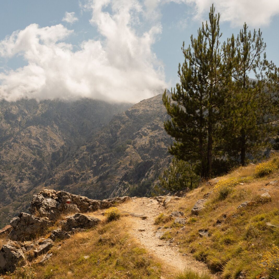
The GR20 stretches 112 miles across Corsica, bisecting the rugged Mediterranean island from north to south. It is widely regarded as Europe’s most demanding long-distance trek. A visual diary offers an insider’s view of the route.
The trail splits into two distinct halves, each with its own character and challenges. The northern section demands scrambling over granite slabs and exposed ridges. The southern half shifts to softer terrain but still tests endurance with long, steep days.
Hikers face steep ascents and descents that exceed 1,000 meters in a single day. Rocky paths require careful footwork and constant attention. Weather conditions can change quickly at higher elevations, adding risk to already technical ground.
Mountain refuges, known as bergeries, dot the route at regular intervals. These basic shelters provide beds, water, and simple meals for trekkers. Many hikers rely on them to resupply and rest between stages.
Most trekkers complete the full route in about 15 days, though pacing varies widely. Some split the journey into shorter sections to manage fatigue. Proper preparation and realistic planning are essential for a safe crossing.
The route demands strong fitness, lightweight gear, and prior hiking experience. Water sources are limited in some sections, so carrying enough supply is critical. Early starts help avoid afternoon storms and crowded refuges.
Corsica’s landscapes shift dramatically along the trail, from forested valleys to bare mountain passes. The visual record captures these contrasts and the physical toll of the journey. It also reveals the quiet beauty that keeps hikers returning.