
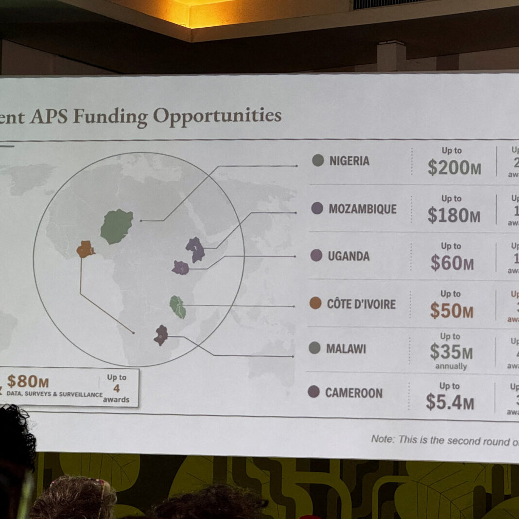
The U.S. State Department mistakenly displayed a map of Africa with multiple geographic errors during an international AIDS conference. Nigeria, a coastal country in western Africa, was incorrectly shown as landlocked in the Sahara Desert.
Other unnamed countries were also placed in the wrong locations on the map. The errors were visible to attendees and quickly drew attention online.
The State Department acknowledged the mistake in a statement. Officials said the map had been “hastily altered” before the presentation.
The department did not specify who made the changes or why the map was altered. Critics noted the blunder undermined the credibility of the U.S. delegation at the conference.
The AIDS conference gathers global health leaders to discuss disease prevention and treatment. The map error shifted focus away from the event’s core mission.
State Department officials promised to review internal procedures to prevent similar mistakes. They emphasized the error was unintentional and apologized for the confusion.
The incident highlights the importance of fact-checking even basic materials in international settings. The department has not announced further disciplinary actions related to the map error.